Illustrated map for St Fagans Museum

illustrated map z-fold designed for visitor attraction st fagans museum

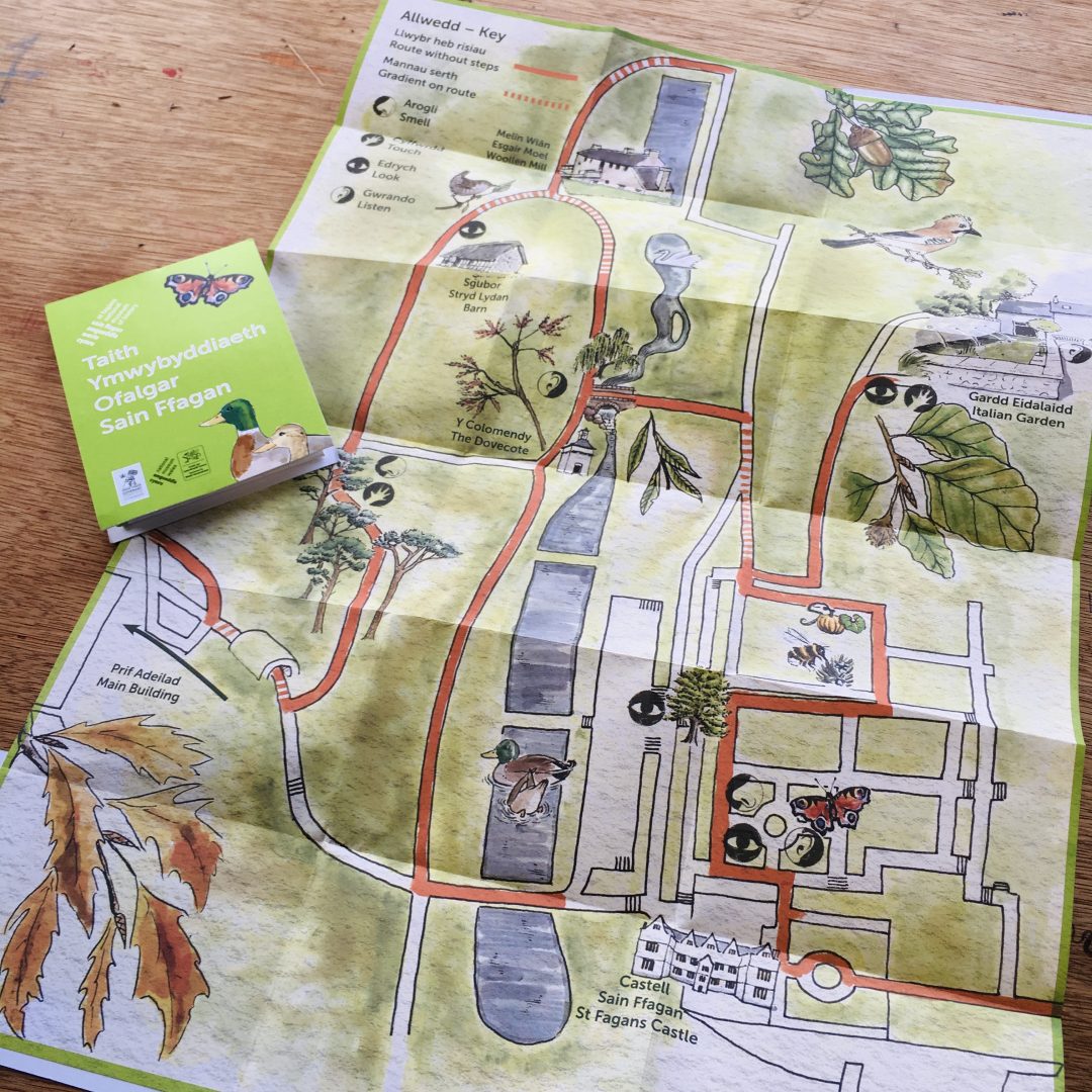
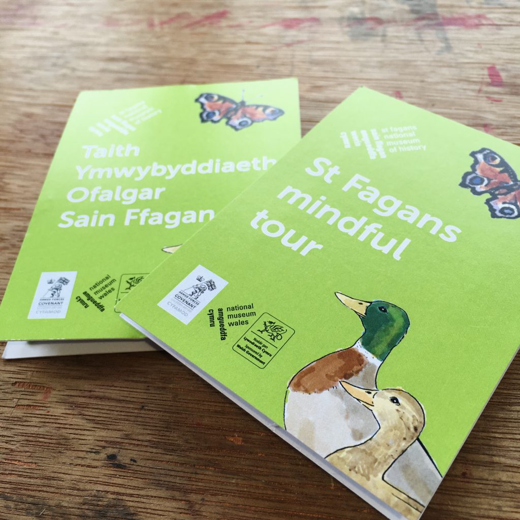
St Fagans National Museum of History commissioned me to design and illustrate a bilingual map of a part of their grounds which visitors could use in order to experience the beautiful location in a mindful way.

covers of illustrated maps in English and Welsh. Illustrated maps feature illustrations of ducks and butterfly

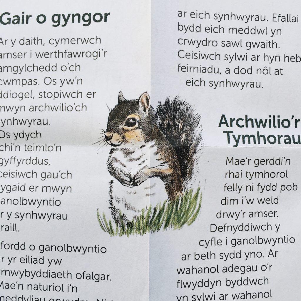
I drew the map, including images of some of the historic buildings on site, and some of the flora and fauna people were likely to encounter.

back of bilingial illustrated map showing wildlife illustrations

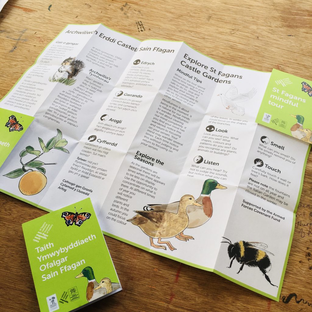
I also created symbols to indicate where it might be good to smell, touch, listen and look in a mindful way.

close up of illustrated map for St Fagans visitor attraction showing symbols and wildlife illustration

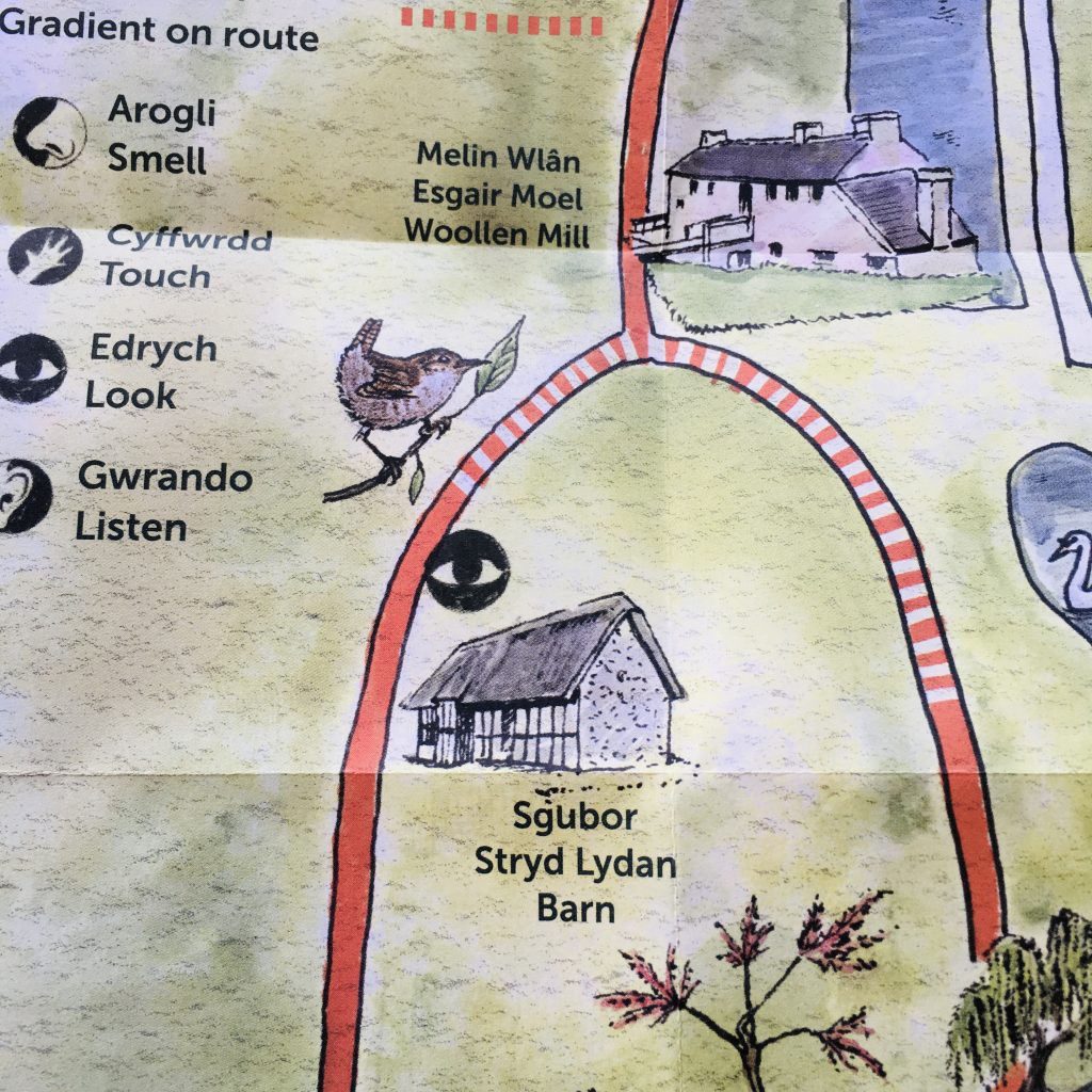
The map was designed to in-house brand guidelines and printed as a z-fold (I sourced the print too) and was an immediate hit with visitors.

close up of grey squirrel - one of the many wildlife illustrations on the illustrated map

Skills

Posted on

16th December 2019

Submit a Comment

Your email address will not be published. Required fields are marked *

This site uses Akismet to reduce spam. Learn how your comment data is processed.